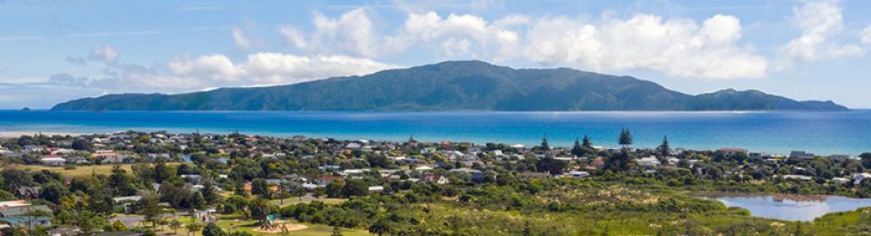
We’re in a high rainfall area, like most of NZ’s west coast (unfortunately KCDC doesn’t store any of it for Waikanae/Paraparaumu/Raumati in the dry summer months) and we suspect most of our readers have been concerned at some point by what could happen if it keeps on raining.
from the Council:

We live in a district shaped by rivers, low-land sand dunes, and peatlands – making Kāpiti naturally prone to flooding. As our community grows and we experience more extreme rainfall events, it’s more important than ever to understand where floods might happen, how severe they could be, and how we can best plan for them.
We’re seeking your feedback on our draft flood maps to make sure they reflect what you see and experience at your place and local areas of interest – whether that’s drainage features in your neighbourhood, historic flooding you’ve witnessed, or unique property characteristics our modelling might have missed.
Your input is an important part of reviewing the maps. Where new evidence indicates a need, we’ll adjust the flood models behind the maps before we finalise them.
I try not to waste my time and replying to this council about anything comes under that heading for me after watching these folks since 1986.
Others of course are free to do as they please.
True, but as we’ve said several times, if you say nothing then KCDC staffers will use that as an excuse following any accusation of negligance on their part.
Think the picture is not in NZ, https://www.jeffreyjkatz.com/idx/sold-RX-10322035-Valencia-Reserve-Boynton-Beach-FL