
The first 15 minutes or so will be on CRU business, the rest will be the real Coastal Hazard Risk Assessment by Dr de Lange in accordance with the requirements of the New Zealand Coastal Policy Statement 2010 and it is quite different to what the KCDC claims.
Whereas the KCDC commissioned the multi-national firm of Jacobs for ‘Sustainability and Vulnerability’ reports which flagged an estimated 7000-10,000 properties as being subject to coastal hazards (i.e. mapped by Jacobs to be within a ‘Coastal Adaptation Area); the de Lange study finds less than 500 properties at risk of erosion over the next 20 years — noting that predictions beyond a 20-year timeframe are found to be no more reliable than tossing a coin.
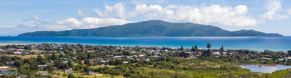
In terms of hazard risk assessment, de Lange finds erosion and inundation of the coastal reserve arising from climate change-induced sea-level rise over a 100-year timeframe to be improbable and impossible to reliably predict. He finds that the Kapiti coast is generally an accreting coast [meaning the shoreline is growing outwards] and that in order to better monitor the on-going sediment supply, the KCDC install a number of new instrumental monitoring techniques to implement a scientifically robust adaptive planning regime.